Mt. Hachimantai
nature
Mt. Hachimantai
八幡平
Overview
1,613-meter volcanic summit on the Iwate-Akita border, reached by a 30-minute boardwalk loop from the top of the Aspite Line, with marsh ponds and the Dragon Eye snow ring opening each late May.
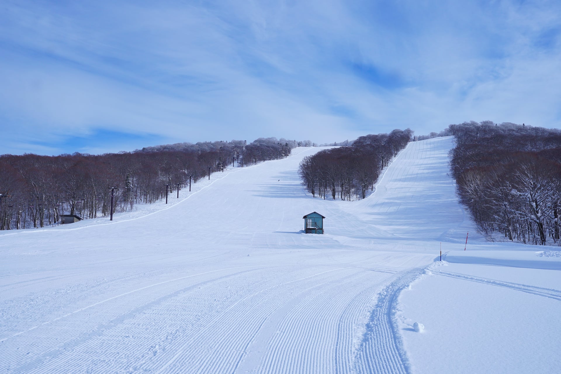
Mt. Hachimantai is the gentle summit of the plateau, reached on a paved 1.5 km boardwalk loop from the bus terminal at the top of the Aspite Line toll road. The trail passes a series of marsh ponds (Megane-numa, Hachiman-numa, Kagami-numa) and crosses the Iwate-Akita border at the actual summit point. In late May, the circular snow-and-water pattern around Kagami-numa pond, called the Hachimantai Dragon Eye, opens for about a week before melting fully. The road and trails close from early November through mid-April.
Local tips
The Dragon Eye peaks in the last week of May and the first week of June; arrive early morning before the wind ripples the pond surface.
Practical info
- Japanese name
- 八幡平
Want to visit Mt. Hachimantai?
Build a trip to Hachimantai